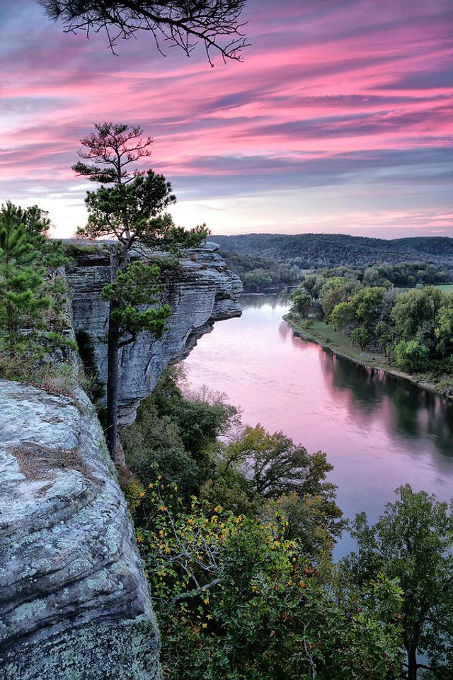
The White River is one of North America's clearest, pristine rivers. The mountains flow more gently on either side of the river at Calico Rock. The bluff splits at Calico Rock, letting Calico Creek spill into the river, creating a natural dock. Calico Rock was one of the few places where conditions were just right for getting to the river by land and getting goods downriver by boat.
The multi-colored bluffs jutting up from the river were like nothing the Frenchmen had ever seen. So, they called the place Calico Roche "the Calico Rock." It reminded them of the rich calico cloth, inexpensive but popular at the time. The name stuck. To this day, no other community in the world shares the name.
Calico Rock was developed by sheer determination, stubbornness, and pioneer settlers' hard work. As a result, it is a beautiful place but a hard place to make a living.
We weren't originally a tourist destination. In early times, people didn't travel for relaxation. They traveled and explored to get rich. There was wealth in the hills. Our wealth was hills covered in virgin yellow pine timber. For those who have settled here, no other place on earth could compare. But, it has never been an easy life, and the people who have made this area home have a special gift. They may appreciate life a little more and are just a little more hospitable when the world comes calling. And, the world has always come calling.

The Ozarks represent the largest area of rugged topography between the Appalachians and the Rockies. The colorful stains are created by chemical reactions between nature and elements in the rock. The top of the bluffs is St. Peter sandstone, which most natives call glade rock. Below is the Everton formation, which consists of dolomite, a form of limestone. The red rust stains are from iron in the sandstone, and the black stains are from manganese in the Everton formation. The Everton formation is estimated to be 200 feet thick. Beneath the Everton formation are two additional levels of dolomite, Powell, and Cotter (named for Cotter, Arkansas). Of course, anyone in the area knows about the concentration of lime in our water supply, which often causes problems for home water systems.
Geologists believe the entire area around Calico Rock was a shallow-water inland sea at one time. To support their theory: there are pronounced ripple effects on exposed rock throughout the area. If the theory is correct, the water eventually disappeared, and the rugged terrain we know today began to take shape. The Ozarks are rich in petroglyphs and pictographs, with a higher concentration than any other place in the United States. Several locations are on the National Registry of Historic Places, with most on private land along the White and Red Rivers. In Izard County, several locations have been documented to have artifacts ranging from 12,000 B.C. to 1,000 B.C., indicating areas on the creeks and byways were vast areas of trade and hunting.